Map geospatial data at your fingertips
Posted on |
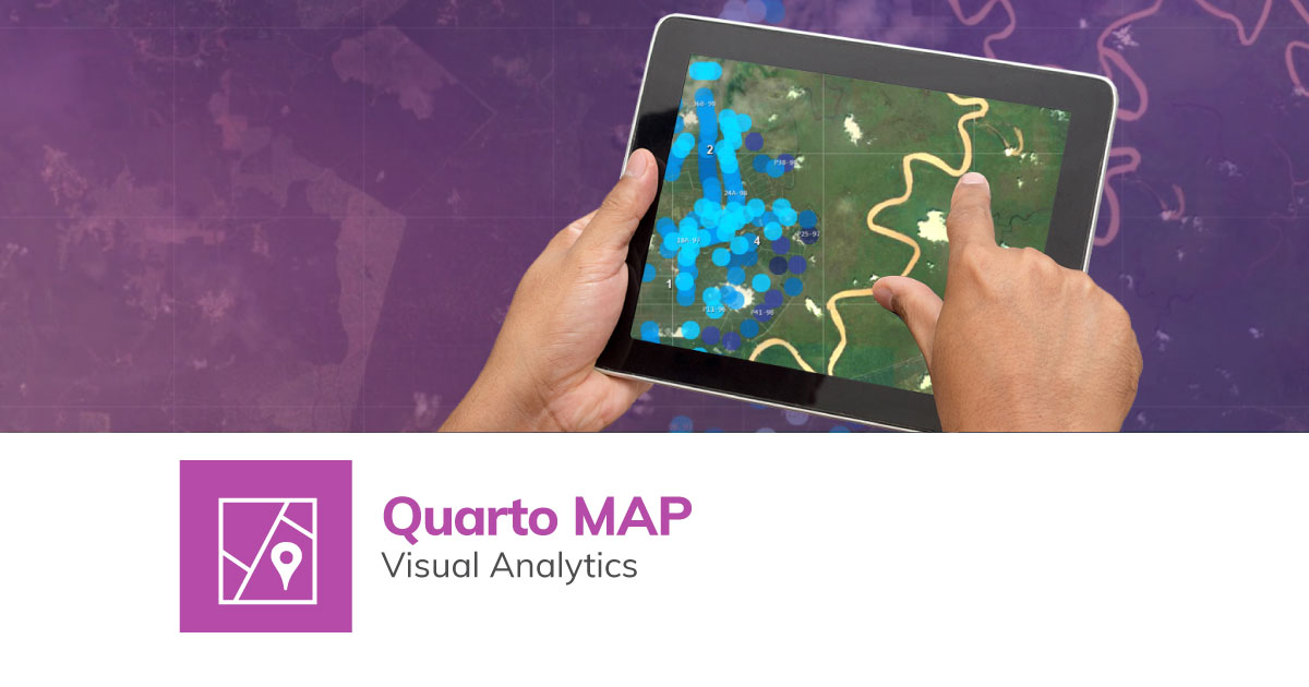
Quarto Map is a powerful extension of the Quarto agriculture management system. It gives you a new way to view your estate’s performance.
Here are 3 benefits of using Quarto Map:
1. Detailed geospatial view of crop yields and harvest
Spreadsheets may show your yields by hectare, but Quarto Map gives you a satellite map detailing each estate block’s production and expenditure. This allows you to compare with surrounding estate blocks to detect possible issues.
You’ll also view your expenditure per hectare according to mature, new, or replanted sections. Crop backlogs also show up in Quarto Map, allowing for planning of timely pickups to precisely the right GPS coordinates to minimise fruit spoilage.
2. Synchronisation with Quarto Connect field data
We’ve seen how the Quarto Connect app helps with field data recording. The collected data from Quarto Connect will reflect in your Quarto Map display. This means as tasks are carried out in-field and recorded, you’ll be able to see the progress in Quarto Map.
You’ll also see work inspection results, therefore allowing you to identify and respond to potential issues sooner. With regular data syncs from Quarto Connect, you can enjoy daily updates of your estate’s operations in Quarto Map.
3. Supports drone footage for detailed plantation view
Quarto Map by default uses data from Google Maps. However, you can supplement with drone footage for added benefits, such as:
- More accurate, up-to-date, and detailed, high resolution maps of your estate.
- Facilitates tree counting for census taking and more accurate yields estimation. The higher resolution maps also lets you zoom in closer to identify diseased or dead trees and take remedial measures.
- Allows management to see if an estate block is under or over utilised. Besides helping with land clearing and planning operations, it also helps decide where best to place supporting infrastructure and roads while considering the terrain.
Quarto Map is an exciting new extension of Quarto to empower you with powerful data-driven decision making. Interested in learning how Quarto Map’s geospatial intelligence can future-proof your plantation business? Contact us now!