GPS in business & agriculture (part 2)
Posted on |
GPS and satellite navigation technology are integral in several industries. It is the backbone powering ride hailing and delivery services, guiding couriers and drivers to new and unfamiliar places. In doing so, GPS navigation has made paper maps and atlases obsolete.
The COVID-19 pandemic makes seemingly mundane tasks, such as taking out food or grocery shopping, a potential health risk. Couriers are stepping up as front liners by delivering food, groceries and shopping purchases. This is allowing more people to stay home and keep crowds low.
Behind the scenes, GPS technology is an invisible force in ensuring our food security. They play a vital role from the first seeding to delivering the final, fresh produce in your hands.
Let’s examine in detail the ways GPS technology is reshaping agriculture in the 21st century.
In planting
Satellite mapping technology is enabling advances in farming. By using field sensors, it allows easy measuring of key metrics. These metrics include volume of seeds planted, plant losses, soil conditions, rainfall, irrigation, and fertilizer and pesticide usage. These sensors can alert users to abnormal conditions such as oversaturation of chemicals or lack of nutrients in the soil. This form of data and analytics-driven agriculture is providing increased crop yields and reduced operating costs when compared to traditional methods.
Digital farming is also allowing for the automation of manual processes. For example, computer-controlled plant watering, or using drones to spray pesticides. Tractors use GPS to easily navigate to a specific plot for plowing, saving time in large estates. Once there, GPS also plots an optimal plowing route.
In logistics
GPS tagging is used in tagging crop harvests due for transport from its originating plantation. Any discrepancies and hiccups in delivery can be traced to prevent incidences of theft and pilferage, which is a common problem with commodity crops.
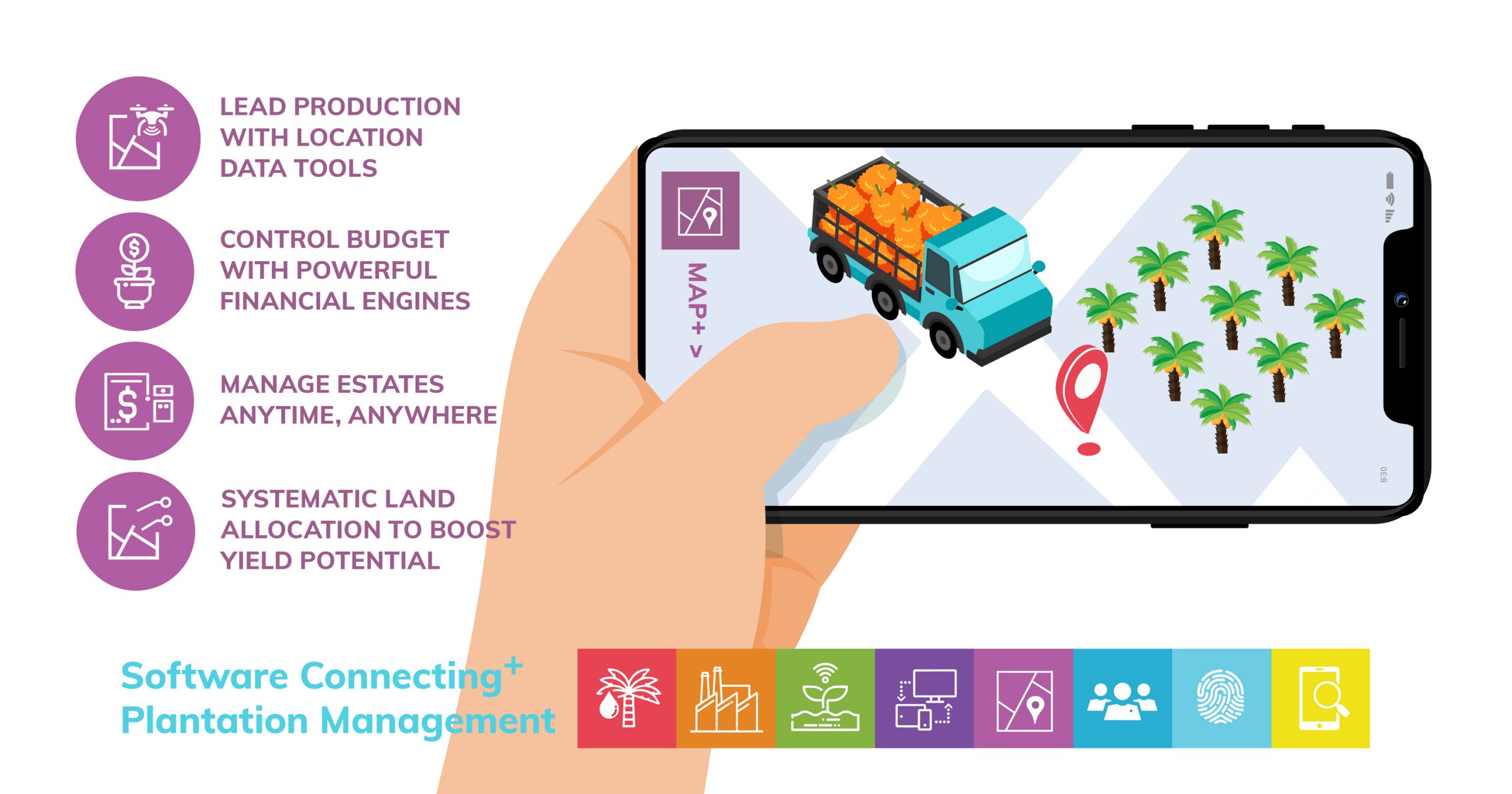
In the oil palm industry, field supervisors can easily record crop loads digitally with their smartphone instead of manually in logbooks. Managers can upload productivity data from apps like Quarto Connect into the central Quarto system. At processing mills, supervisors can cross-check if there is any discrepancy in crop weight.
But it doesn’t stop there. Even after leaving the farm or estate, GPS technology is still in use throughout the entire logistics chain. Its usage remains when transporting produce to the mill or factory, then when shipping finished goods by land, sea or air to warehouses. After which, the goods are redistributed to markets and shops before finally ending up in our homes.
In agriculture management
By digitising data instead of recording them into logbooks, information can be used to measure productivity over time. Using the GPS map view, on-ground data is accessible in a visual manner. This allows easy troubleshooting of problem areas where spreadsheet reports might miss.
That data is used in planning future plantings, especially when expanding plantation areas. Factors such as land topography, access to water sources, soil conditions, and road access are visible in map view. With this data, estate managers can effectively plan new plantings with irrigation and harvest evacuation in mind. At the same time, this allows planning for disaster prevention and mitigation, particularly when planting in areas affected by seasonal flooding.
What does this mean for the agriculture industry?
Technology is changing the face of agriculture as we know it. Technological advances is key to addressing food security concerns as climate change impact agriculture zones around the world. With an estimated 32% of food wastage in South and Southeast Asia happening at the production chain (source: World Resource Institute), certainly there is a need for drastic solutions.
From climate change to food security, GPS technology is a link in the chain of solutions to improve crop yields, reduce wastage and loss and alleviate world hunger.